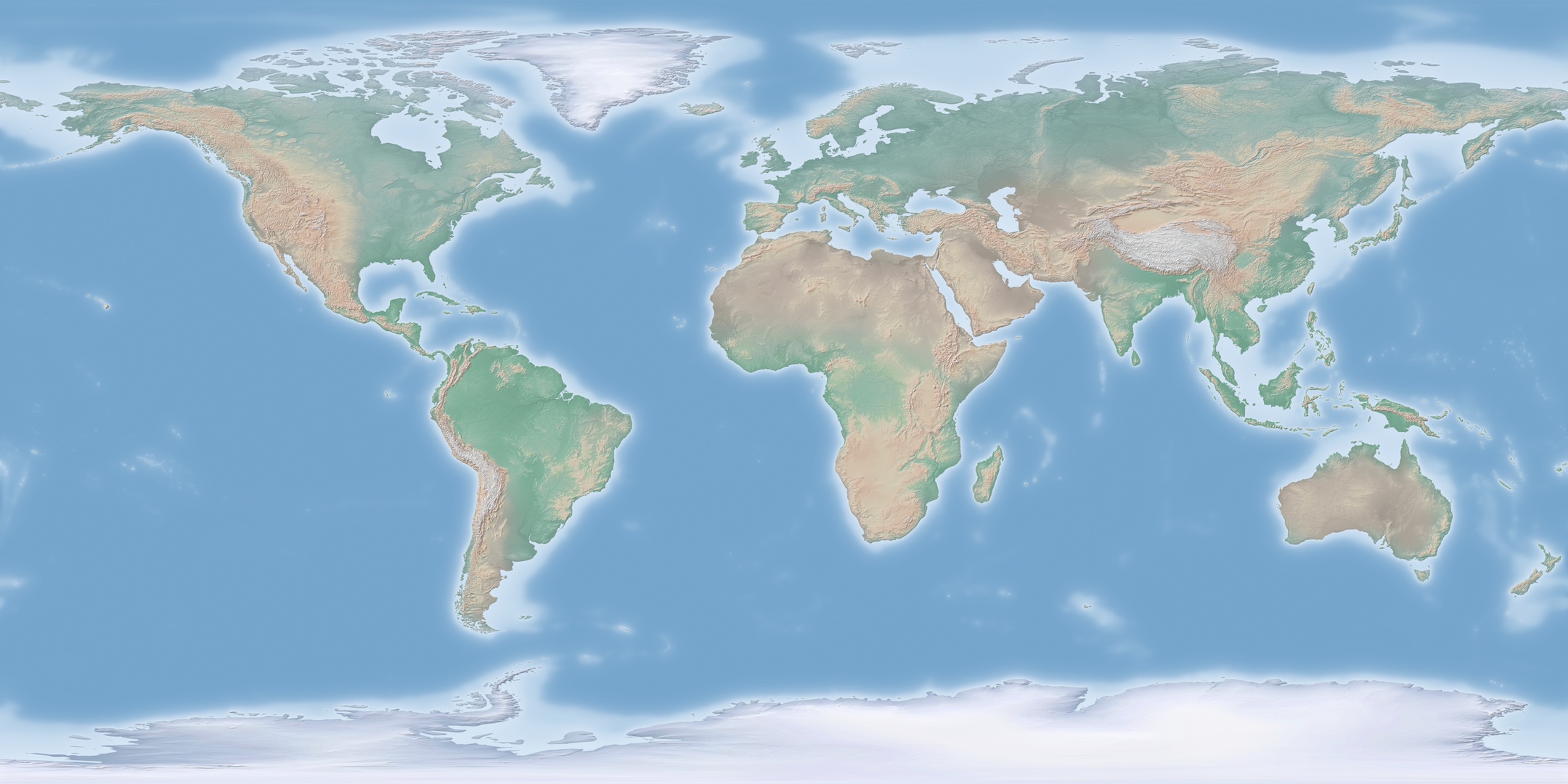
Large GIS raster data derived from Natural Earth Data (Cross Blended Hypso with Shaded Relief and Water)
L o a d i n g
Organization
Swiss Federal Institute for Forest, Snow and Landscape Research - view all
Update frequencyunknown
Last updated2 years ago
OverviewCROSS BLENDED HYPSO WITH SHADED RELIEF AND WATERGISLARGE FILESNATURAL EARTHQGIS
The attached data are some large GIS raster files (GeoTIFFs) made with Natural Earth data. Natural Earth is a free vector and raster map data @ naturalearthdata.com. The data used for creating these large files was the "Cross Blended Hypso with Shaded Relief and Water". Data was concatenated to achieve larger and larger files. Internal pyramids were created, in order that the files can be opened easily in a GIS software such as QGIS or by a (future) GIS data visualisation module integrated in EnviDat. Made with Natural Earth. Free vector and raster map data @ naturalearthdata.com
Additional Information
KeyValue
Harvest Object Idd2db38b2-6541-4a59-b1ad-537df926c6ce
Harvest Source Id8fc5dcf9-738c-468f-985c-d55347a92f88
Harvest Source TitleEnviDat